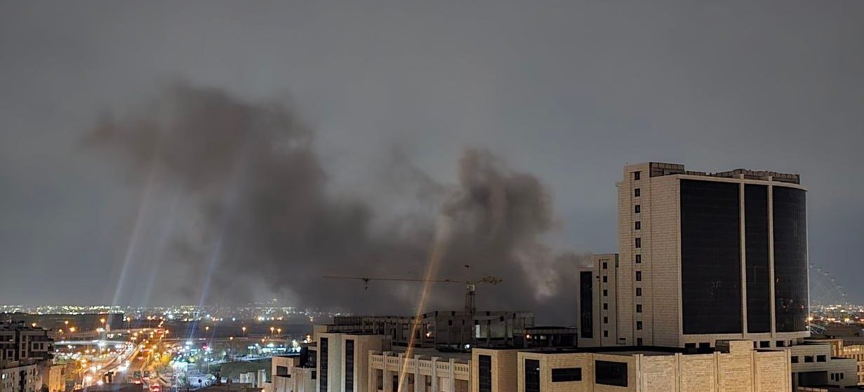


The very severe cyclonic storm, ‘TITLI’ is being monitored by the coastal Doppler Weather Radars at Visakhapatnam, Gopalpur and Paradip. The latest observations indicate that the Very Severe Cyclonic Storm ‘TITLI’ over westcentral Bay of Bengal moved north-northwestwards with a speed of about 11 kmph during past 06 hours and lay cantered at 2030 hrs IST of today, the 10th October 2018 over Westcentral Bay of Bengal near latitude 17.7°N and longitude 85.2°E, about 180 km south-southeast of Gopalpur (Odisha) and 130 km southeast of Kalingapatnam (Andhra Pradesh). It is very likely to move north-northwestwards and cross Odisha & adjoining north Andhra Pradesh coasts close to Gopalpur around morning of 11th October. Thereafter, it is very likely to re-curve northeastwards, move towards Gangetic West Bengal across Odisha and weaken gradually.
Wind warning
Gale wind speed reaching 140-150 kmph gusting to 165 kmph very likely over westcentral & adjoining north Bay of Bengal and along & off south Odisha & adjoining districts of north Andhra Pradesh coasts from tonight, the 10th October 2018 to forenoon of tomorrow the 11th October 2018. Squally wind speed reaching 80-90 kmph gusting to 100 kmph very likely along & off north Odisha and remaining districts of north Andhra Pradesh coasts during the same period.
Squally winds speed reaching 60-70 kmph gusting 80 kmph very likely along & off West Bengal coast from tonight onwards.
Sea condition
The sea condition is phenomenal over westcentral & north Bay of Bengal and along & off south Odisha and adjoining north Andhra Pradesh coasts and very likely continue to remain so till 11th October 2018 forenoon.
Storm Surge Warning
Storm surge of height of about 1.0 meter above astronomical tide is very likely inundate low lying areas of Srikakulam district of Andhra Pradesh; Ganjam, Khurda & Puri districts of Odisha at the time of landfall.
Damage Expected over districts of Visakhapatnam, Vizianagaram and Srikakulam of Andhra Pradesh, Gajapati, Ganjam, Khurda, Nayagarh and Puri districts of Odisha:
Total destruction of thatched houses/ extensive damage to kutcha houses. Some damage to pucca houses. Potential threat from flying objects.
Bending/ uprooting of power and communication poles. Breaking of tree branches and uprooting of large avenue trees.
Major damage to Kutcha and and Pucca roads. Flooding of escape routes. Minor disruption of railway.
Widespread damage to standing crops, plantations, orchards, falling of green coconuts and tearing of palm fronds. Blowing down of bushy trees.
Action Suggested:
Total suspension of fishing operations.
The fishermen are advised not to venture into westcentral & north Bay of Bengal till 11th October 2018. Those, who are out in deep sea areas are advised return to the coast immediately.
Evacuation from coastal areas need to be mobilised. People advised to remain indoors.
Judicious regulation of rail and road traffic needed.
Post landfall Outlook:
After the landfall the very severe cyclonic storm, ‘TITLI’ is very likely to maintain the intensity of cyclone till evening of 11th October 2018, while moving northeastwards across Odisha. As a result, the gale wind speed of 60-90 kmph is very likely to prevail over the interior districts adjacent to south coastal Odisha during 11th morning to afternoon and wind speed of 60-70 kmph gusting to 80 kmph over the interior districts adjacent to north coastal Odisha from 11th noon to night.
It may lead to breaking of tree branches, uprooting of trees, minor damage to power and communication lines, Damage to thatched huts, damage to standing crops.
